- 1:00 h
- 6.49 km
- 413 m
- 391 m
- 681 m
- 1,093 m
- Difficulty: medium
- Start: Naters (680 m)
- Destination: Birgisch
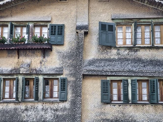
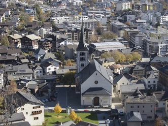
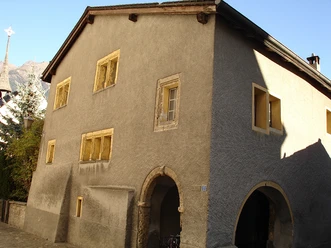
This hike begins in Naters and first leads through the old village. The oldest buildings date back to the 12th century and the lime tree next to the vicarage was first mentioned in 1357.
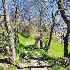
The route then continues via Klosi or via the Way of the Cross and the old mule track to Birgisch. During the hike, the view opens up to the Belalp and the Sparrhorn. You can also enjoy the view of the Rhone Valley and the Simplon region.
In Birgisch, you can descend along the same path or continue on to Geimen. Or you can take the post bus and travel back to Naters / Brig in comfort.
The trail can also be walked in the opposite direction, from Birgisch to Naters.

Pavements
- Street (34%)Asphalt (2%)Trail (55%)Path (9%)
Best to visit
- suitableDepends on weather
Directions
The hike starts in Naters at the market square, leads through the old village and up to Klosi. Turn left at the Klosi gymnasium above the cemetery and you will reach the Kreuzweg. Follow the path until just before the chapel. Turn right here and you will soon reach the hiking trail to Birgisch. It goes through wooded passages as well as meadows and part of the route runs along the road to Birgisch.
Naters - Klosi - Birgisch
Tour information
Culturally interesting
Refreshment stop
Equipment
- Sturdy shoes, clothing suitable for the weather, sun and rain protection, as well as sufficient supplies of food and drinks, should there be no refreshment stops or shopping facilities available or open. Although the trail is very well marked throughout, you should always have a suitable hiking map with you for safety reasons. Take sticks or other aids with you.
Directions & Parking facilities
- Getting thereArrival by car
From western Switzerland: A9 Lausanne - Vevey, or north-western Switzerland: A12 Bern - Vevey: A9 - Sierre: main road Sierre - Brig
From north-western Switzerland: A6 Berne - Thun - Spiez: main road Spiez - Kandersteg (Lötschberg tunnel car transport) - Goppenstein - Gampel - Brig
From eastern and central Switzerland: Andermatt - Realp (year-round Furka car transport; in summer via Furka Pass) - Oberwald - Brig
From Ticino (in summer): Airolo - Nufenenpass - Ulrichen - Brig
Or via Centovalli - Domodossola - Simplonpass - Brig
From Italy (Aosta, Mt. Blanc Tunnel): Aosta - Grand Saint Bernard tunnel (over the pass in summer) - Martigny: A9 motorway - Sierre: Sierre - Brig main road.
Or via Domodossola - Simplon Pass - Brig
Birgisch / Mund
From Brig you can reach Birgisch and Mund via Naters.
ParkingBoth in Naters and in Brig there are several paid parking spaces and multi-storey car parks available.Public transportationNatersTake the post bus or the local bus (line 1) from Brig to Naters Marktplatz and start your tour there.
You can also walk directly from Brig through Naters to start your tour.
Birgisch
Take the post bus from Brig to Birgisch car park and start your tour there.
You can find the timetable and further information on how to get there at: www.belalp.ch
Additional information
If you have any questions, please contact:
Belalp Bahnen AG
Blatten - Belalp Tourismus AG
Literature
Author´s Tip / Recommendation of the author
- Let your gaze wander and enjoy the view of the Rhone Valley and the Valais mountain panorama.
Safety guidelines
Despite the "impossible to miss" marking of the hiking trails, we recommend for safety reasons to always have an appropriate hiking map with you, so that you can quickly find your way to a safe area in case of a thunderstorm or emergency, for example.
Especially in autumn, you should also be aware that leaves lying on the ground can hide bumps, roots, stones or holes in the path. After storms, trees can still fall over or branches can fall down. Especially in adverse weather conditions, muddy and slippery passages can occur on natural paths. You have to expect this kind of path impairment when you go on a hike.
Not all rocks or precipices are secured with ropes or railings. In some cases surefootedness is required. If you are of the opinion that certain sections of the trail are not passable for you, you should avoid them.
Map